
Navigation · Ordnance Survey
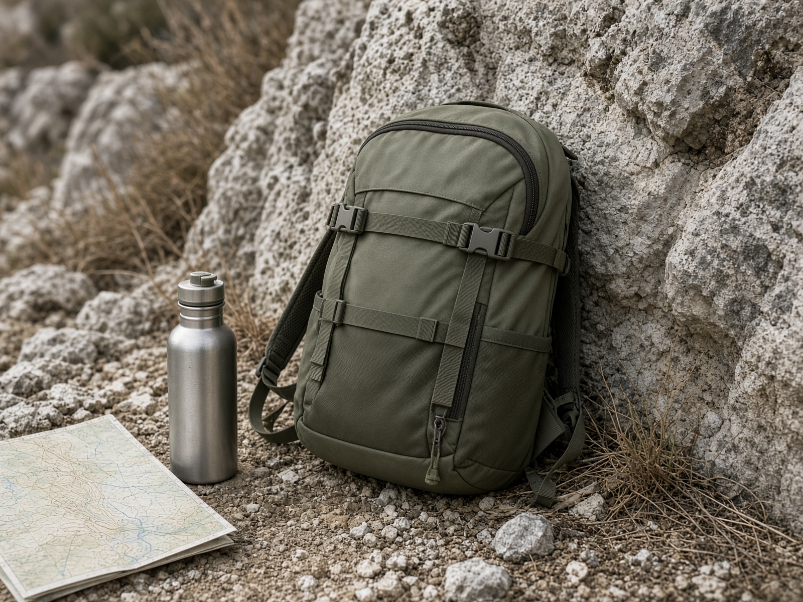
OS Maps, OL1 and OL24
The only map that shows the groughs, the stiles and the rights of way.
Score
9.4
Guide price
£15
Best for. Anyone leaving the car park, including people who 'mostly know the way'.
Some links are affiliate links. As an Amazon Associate, Gritstone Trails earns from qualifying purchases. If you buy, book or subscribe through a link, Gritstone Trails may earn a commission. You don't pay extra. Routes stay free, and a commission never buys a kinder score.
The verdict
Phone navigation is fine until the cloud drops on Kinder or the battery gives up in a wet pocket. OL1 (Dark Peak) and OL24 (White Peak) are the sheets that match this site. The app subscription is worth it for planning; the paper sheet is worth it for the day. A commission on a map is still cheaper than a mountain rescue callout.
Where it belongs: Every route on this site. Non-negotiable on the plateau.
For
- Rights of way are drawn, which keeps bikes off footpaths
- Contours explain a peat grough before you are in it
- Paper still works when the phone is a cold brick
Against
- The app is another subscription on top of the paper sheet
- Paper goes soft in Peak rain without a simple map case
- A screen at 1:25,000 is no substitute for knowing how to set a map
Carry it on
- Mam Tor and the Great RidgeWalk
- Win Hill from HopeWalk
- Froggatt, Curbar and Baslow EdgesWalk
- Kinder Scout via Jacob's LadderWalk
- Stanage Edge from Hook's CarWalk
- Dovedale stepping stonesWalk
- Chrome Hill and Parkhouse HillWalk
- The Roaches and Lud's ChurchWalk
- Padley Gorge and BurbageWalk
- Three Shires HeadWalk
- Monsal Trail from BakewellWalk
- Cut Gate from LangsettMountain bike
- Long CausewayMountain bike
- Longdendale TrailGravel
- Monsal TrailGravel
- White Peak lanes from MonyashGravel
- Edale SkylineWalk
- Derwent Edge from FairholmesWalk
- Lathkill Dale from Over HaddonWalk
- Tissington Trail, Ashbourne to Parsley HayGravel
- Manifold TrackGravel
- Roych and the Pennine BridlewayMountain bike
- A Bakewell lane dayGravel