Dark Peak · Peak District walk · Hard
Kinder Scout via Jacob's Ladder
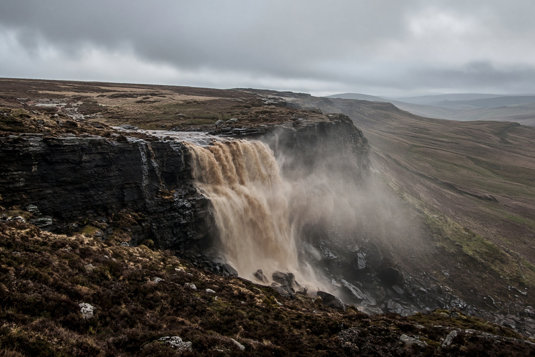
Peat, gritstone and a waterfall that a strong wind can blow back up the hill.
- Distance
- 14 km
- Ascent
- 680 m
- Time
- 6 hr 30 min
- Grade
- Hard
Kinder Downfall in a strong wind.
Start
Edale village · SK 124 853
Parking
Edale car park fills and charges. The train from Manchester or Sheffield is the civilised arrival.
Underfoot
Stone paths, then peat groughs and gritstone edges. Vague in places.
Dogs
Possible, but not kind. There are peat gullies, sheep and cold pools. Only for an experienced dog.
The day, in order
- 01
Edale to Jacob's Ladder
Leave the village on the Pennine Way toward Upper Booth. Jacob's Ladder is a stone staircase, and it is harder than the summit. There is an older, muddier path beside it.
- 02
The edge to the Downfall
Once you are on the plateau, follow the edge. Do not head straight into the peat gullies. Go by Kinder Low, then along the rim to the Downfall. In a south-west wind the waterfall blows upward. In mist, stay on the edge. Leaving it without a map is how people get lost.
- 03
Back by Grindsbrook
The usual way down is Grindsbrook Clough. It is rocky and clear in good weather, and a stream after rain. It brings you back into Edale. If the water is high, go back along the edge instead of looking for another way down.
The shape of it
A sketch of the ups and downs, not a surveyed profile. Navigate with the map.
Kilometres along, metres up.
Before you leave the car
- This is a map-and-compass walk the moment the cloud sits on the plateau. OL1, and the skill to use it.
- Peat after rain is not 'a bit muddy'. Gaiters, or accept the laundry.
- There is no shelter up there that you should count on. Turn around earlier than your pride wants.
This is a guide, not a GPS track. Take OS 1:25,000 and know how to set it. Paths shift, rivers rise, and a right of way can be restricted.
If not this, then
Dark Peak · Walk
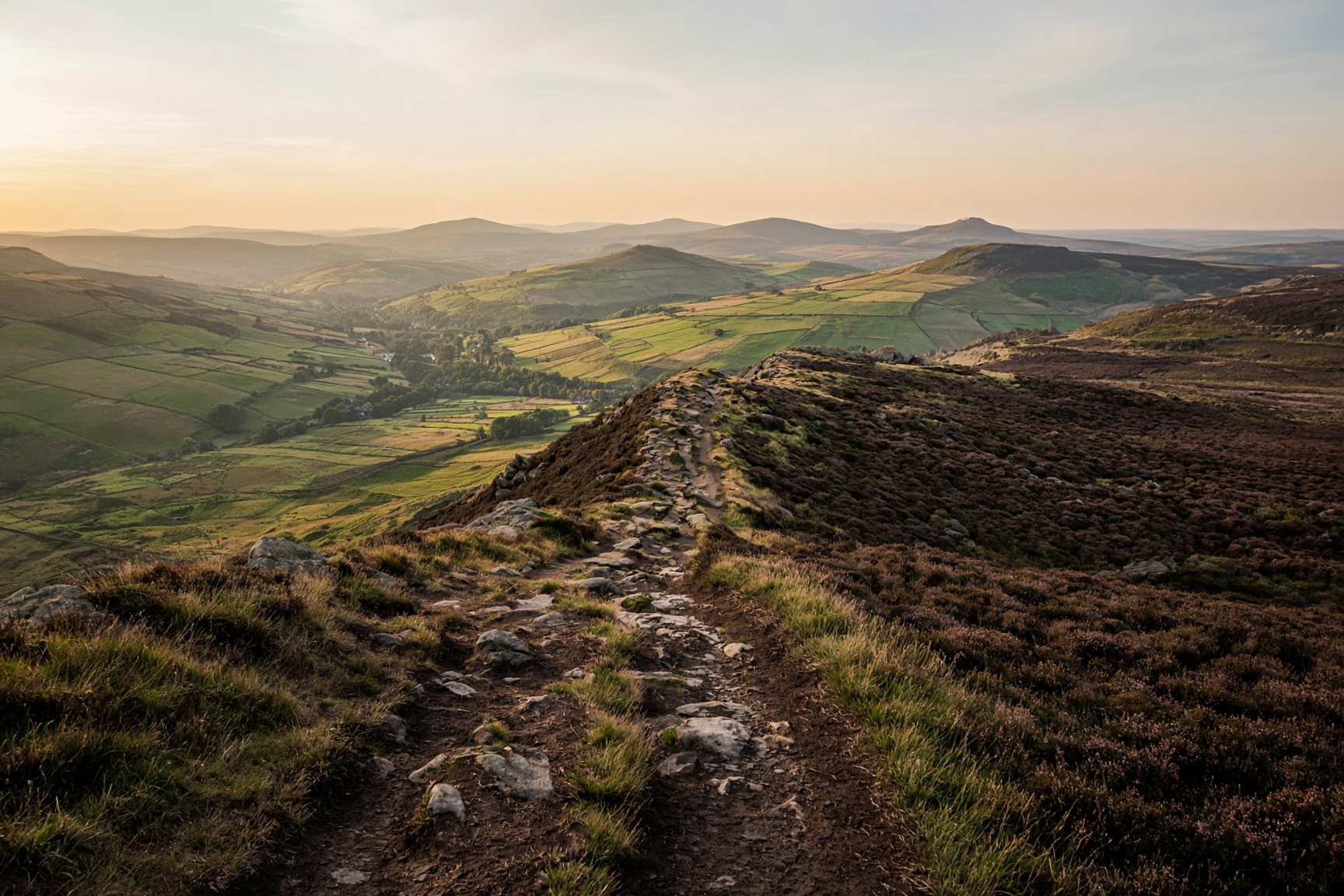
Edale Skyline
The horseshoe that looks down on the village all day. A long one, and a navigation day once you are on the plateau.
22 km · 980 m · 7 hr 30 min · Hard
Dark Peak · Walk
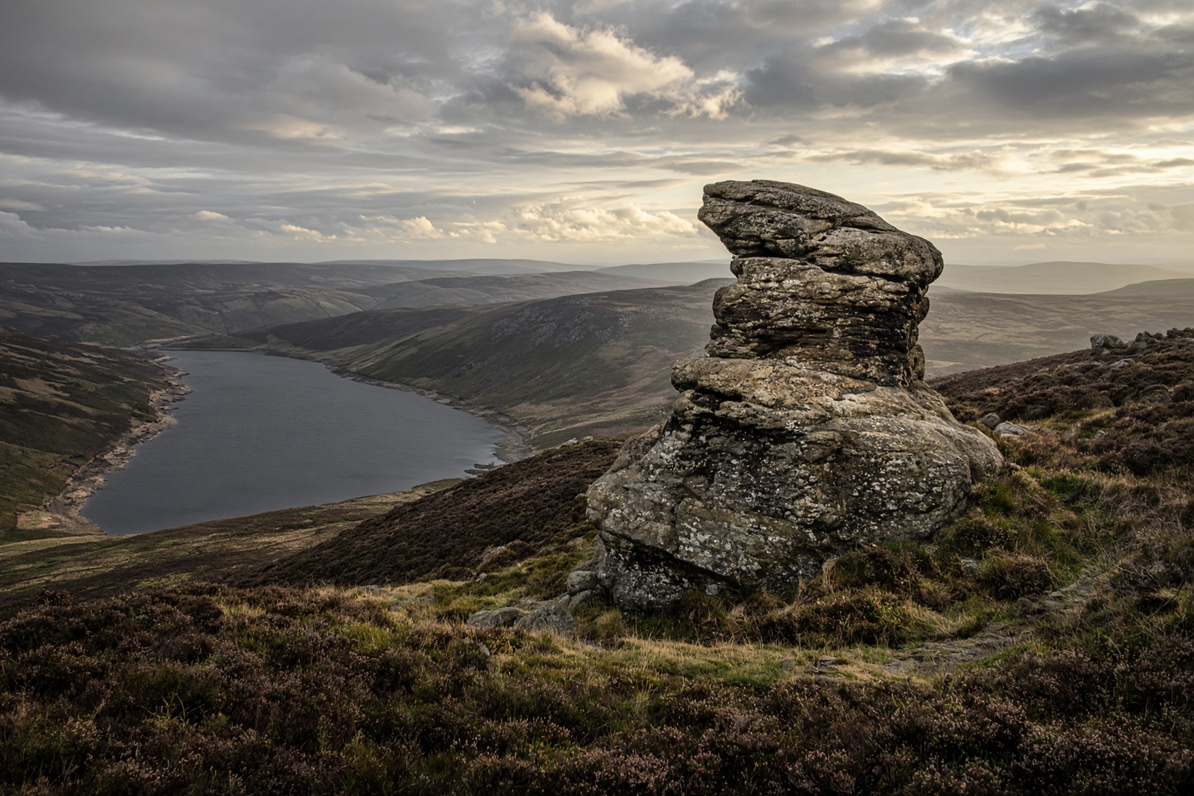
Derwent Edge from Fairholmes
Gritstone tors above the reservoirs. The Salt Cellar is the photograph. The edge is the walk.
14 km · 460 m · 5 hr · Moderate
Hope Valley · Walk
Mam Tor and the Great Ridge
The postcard: a broken hill, a high path, and Lose Hill sitting at the far end like a dare.
12.5 km · 540 m · 5 hr · Moderate