Dark Peak · Peak District walk · Hard
Edale Skyline
The horseshoe that looks down on the village all day. A long one, and a navigation day once you are on the plateau.
- Distance
- 22 km
- Ascent
- 980 m
- Time
- 7 hr 30 min
- Grade
- Hard
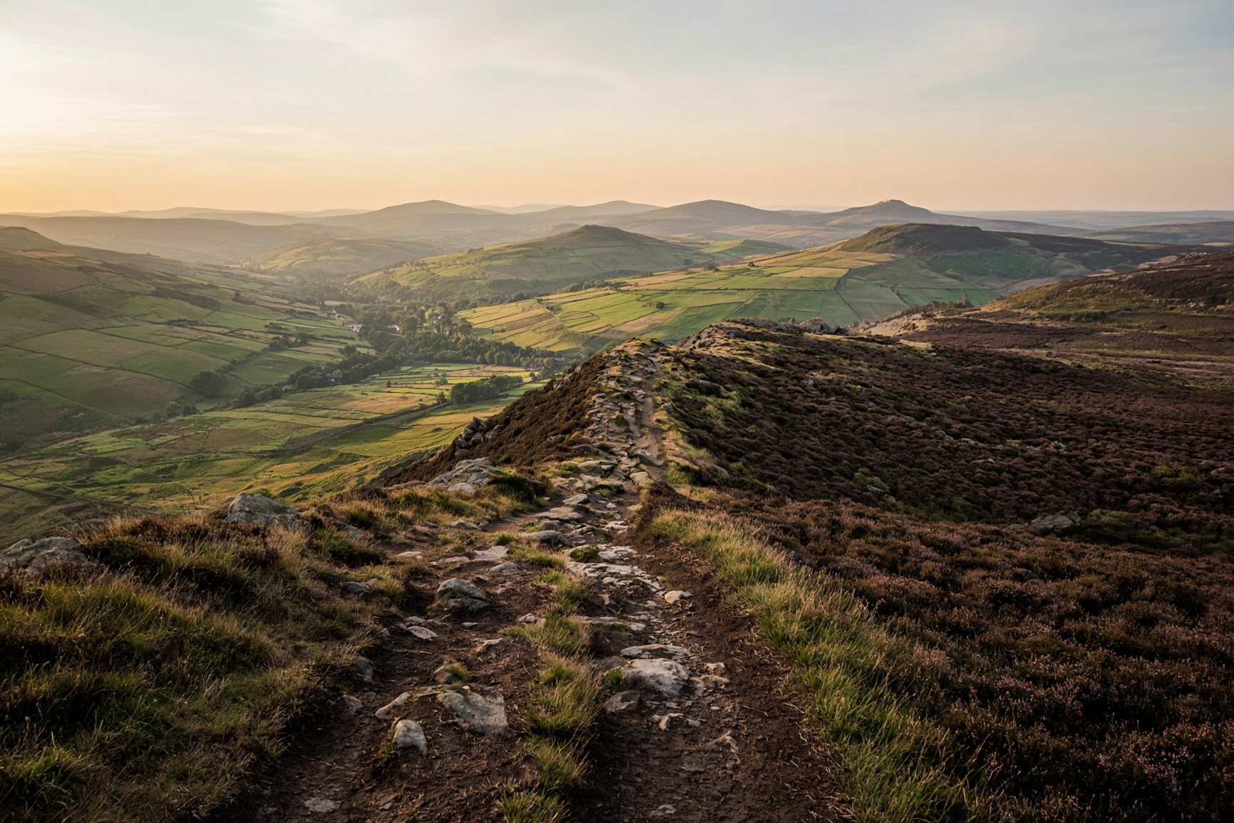
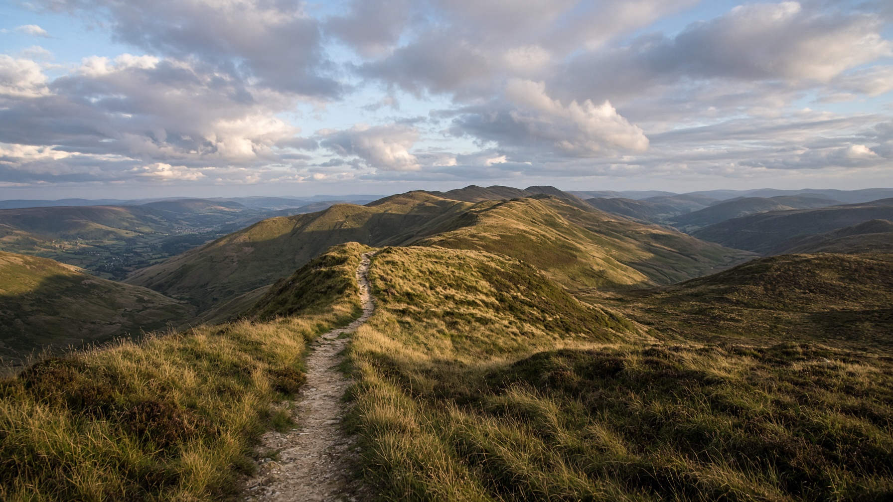
The view from the ridge, with the valley below.
Start
Edale village · SK 123 853
Parking
Edale pay and display. It fills early. The train is the grown-up option.
Underfoot
Gritstone edges, peat groughs, then a valley path back.
Dogs
A lead all day. Sheep, cliffs, and a lot of other people on the ridge.
The day, in order
- 01
Out of the village and onto rock
Leave Edale toward Ringing Roger. The climb is steep and short. If the cloud is already on the edge, do Kinder by Jacob's Ladder instead. There is no point walking a skyline you cannot see.
- 02
The rim
Follow the southern edge of the plateau toward the Mam Tor country. The path is popular and still vague in peat. Count the features, don't follow the person in front. Lord's Seat and the western tops are the decision point: eat here, and check the time before you commit to the rest of the horseshoe.
- 03
Mam Tor, Lose Hill, and the valley home
The ridge back toward Lose Hill is the postcard you already know, with tired legs. Drop into the valley rather than inventing a shortcut across fields. The last miles are flat and longer than they look. A lamp from October.
The shape of it
A sketch of the ups and downs, not a surveyed profile. Navigate with the map.
Kilometres along, metres up.
Before you leave the car
- Do this after you have already walked Kinder in clear weather, not instead of learning the plateau.
- OL1, and the skill to set it. A phone track is a comfort, not the plan.
- Start early. A 7-hour day that begins at noon finishes in the dark.
This is a guide, not a GPS track. Take OS 1:25,000 and know how to set it. Paths shift, rivers rise, and a right of way can be restricted.
If not this, then
Dark Peak · Walk
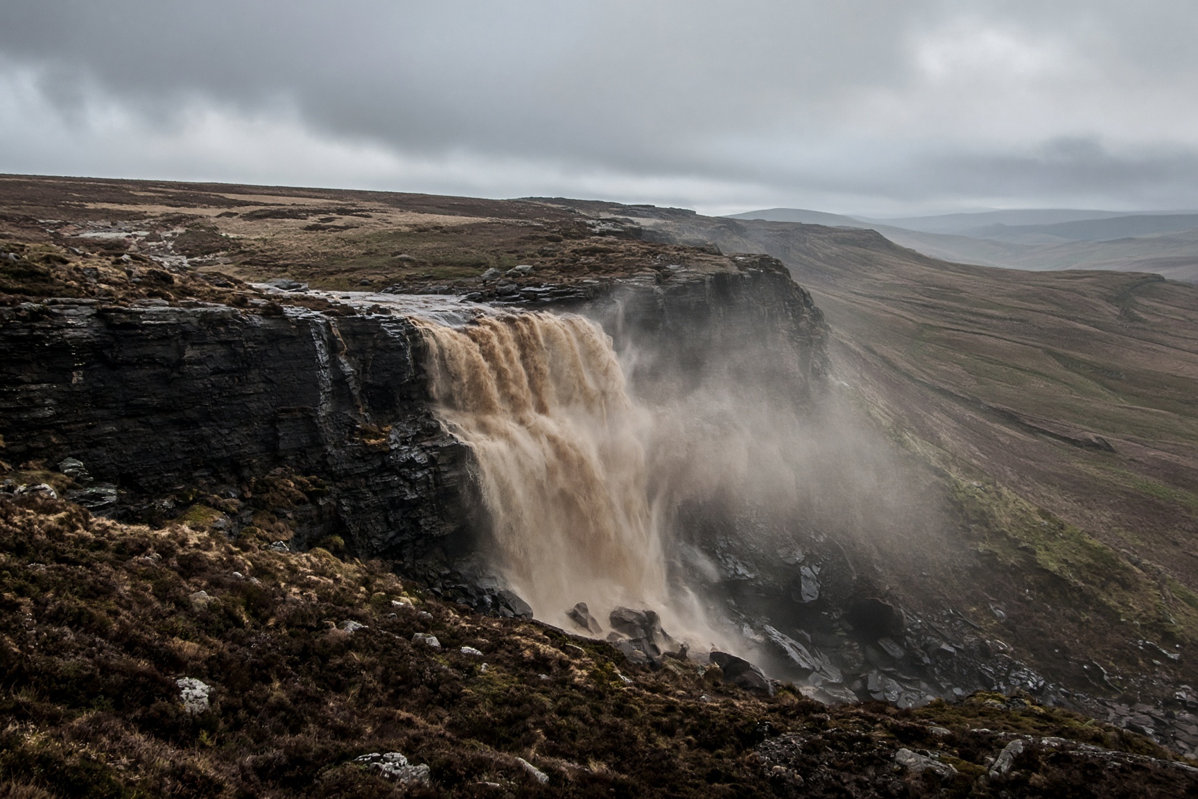
Kinder Scout via Jacob's Ladder
Peat, gritstone and a waterfall that a strong wind can blow back up the hill.
14 km · 680 m · 6 hr 30 min · Hard
Dark Peak · Walk
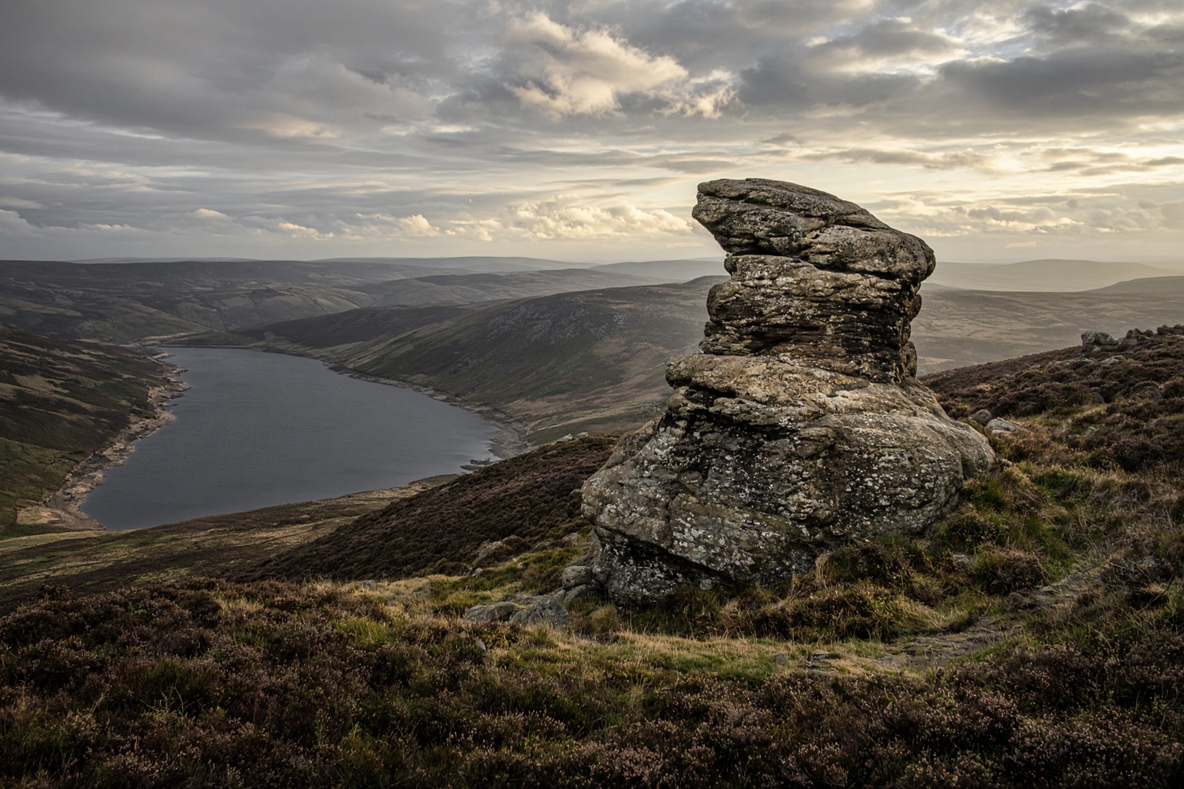
Derwent Edge from Fairholmes
Gritstone tors above the reservoirs. The Salt Cellar is the photograph. The edge is the walk.
14 km · 460 m · 5 hr · Moderate
Hope Valley · Walk
Mam Tor and the Great Ridge
The postcard: a broken hill, a high path, and Lose Hill sitting at the far end like a dare.
12.5 km · 540 m · 5 hr · Moderate