
Hope Valley · Peak District walk · Moderate
Mam Tor and the Great Ridge
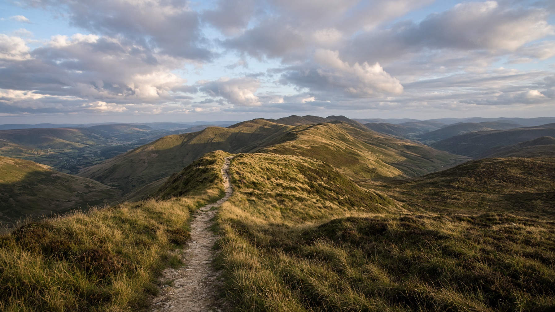
The postcard: a broken hill, a high path, and Lose Hill sitting at the far end like a dare.
- Distance
- 12.5 km
- Ascent
- 540 m
- Time
- 5 hr
- Grade
- Moderate
Mam Tor and the ridge toward Lose Hill, late light.
Start
Mam Nick car park · SK 123 833
Parking
Pay and display at Mam Nick. It fills. Castleton is a longer, quieter start.
Underfoot
Repaired stone path, then grass and a few rock steps.
Dogs
Fine on a lead. Sheep on the ridge, and the path is busy.
The day, in order
- 01
Up Mam Tor
From Mam Nick the summit is a short climb. The landslip is the view, and the road below was closed years ago. Stay on the path. Climbing the fences wears the hill away.
- 02
Hollins Cross to Back Tor
Hollins Cross is an old packhorse crossing. Back Tor is the small rocky point before Lose Hill. On a clear day you can see Kinder. The cement works is in the other direction.
- 03
Lose Hill and the return
Lose Hill is worth the last climb. Drop toward Hope, or follow the farm tracks back under the ridge to Mam Nick. There are a lot of stone stiles. If the ridge is crowded, this side is quieter.
The shape of it
A sketch of the ups and downs, not a surveyed profile. Navigate with the map.
Kilometres along, metres up.
Before you leave the car
- Weekends: be parked before 9.30 or start from Castleton and earn the height.
- The paved path is still slippery after rain. Boots beat fashion trainers once you're off the summit.
- Ice in winter sits in the shaded steps. This is not the day for smooth soles.
This is a guide, not a GPS track. Take OS 1:25,000 and know how to set it. Paths shift, rivers rise, and a right of way can be restricted.
If not this, then
Hope Valley · Walk
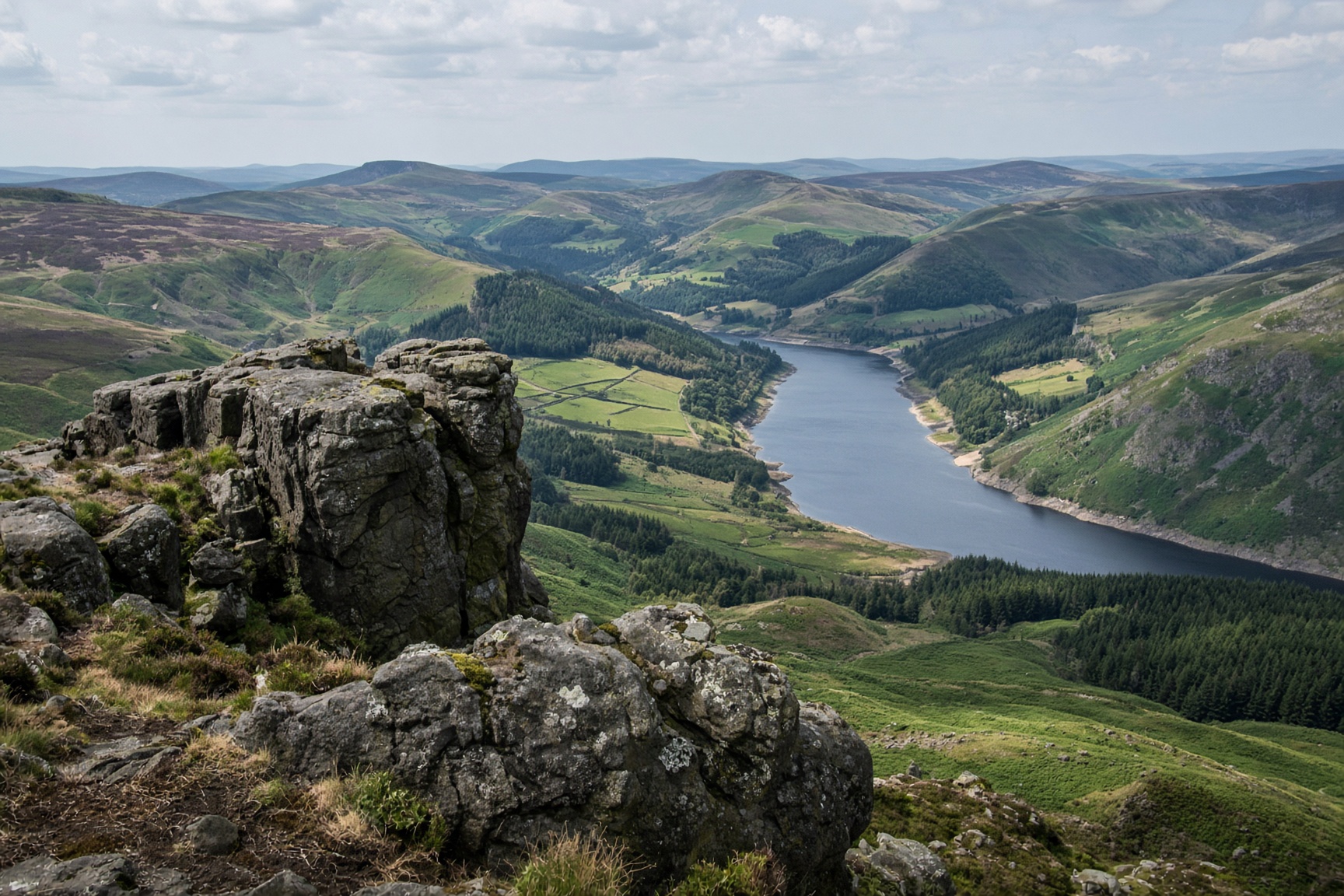
Win Hill from Hope
A small rocky top with the whole valley laid out under it. Steep enough to feel like a hill, short enough for a first day.
8.5 km · 370 m · 3 hr 30 min · Moderate
Hope Valley · Walk
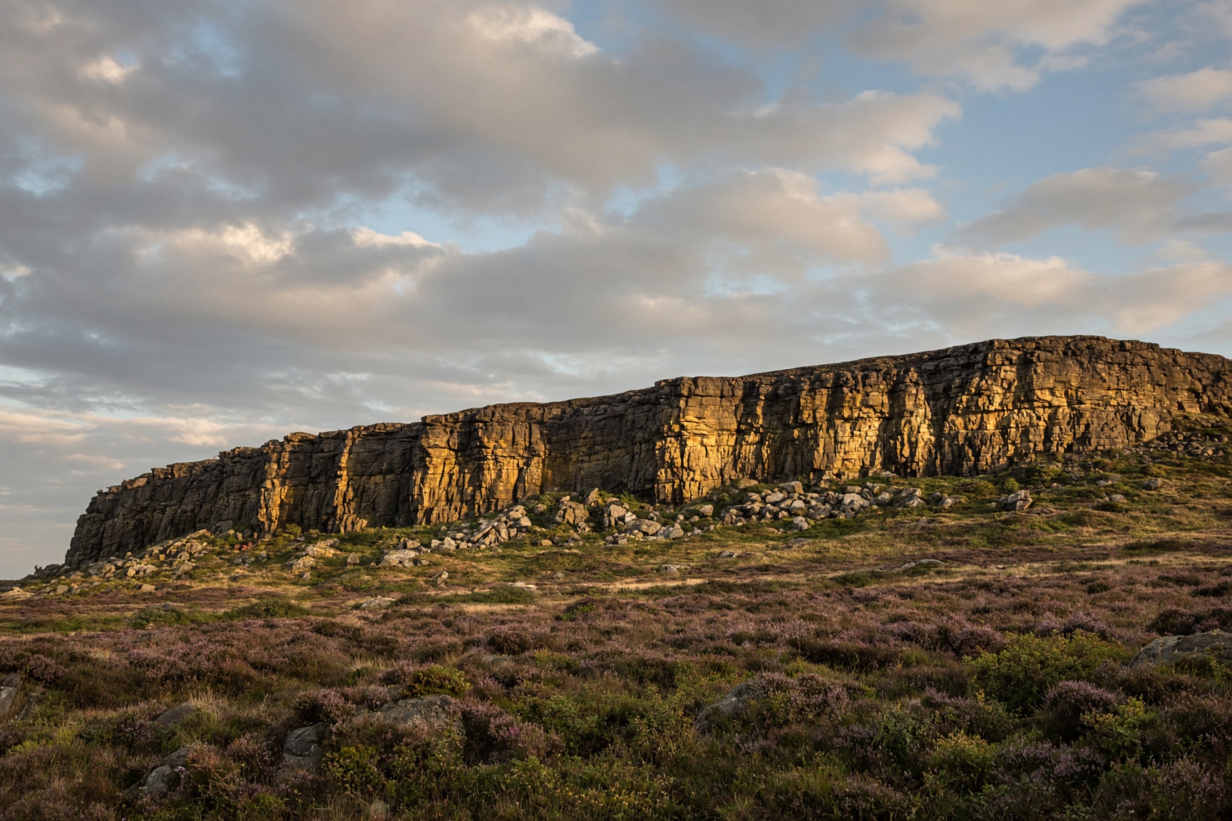
Stanage Edge from Hook's Car
A long dark cliff, a path along the top, and half of Sheffield's climbers somewhere underneath.
9 km · 340 m · 3 hr 30 min · Moderate
Hope Valley · Walk
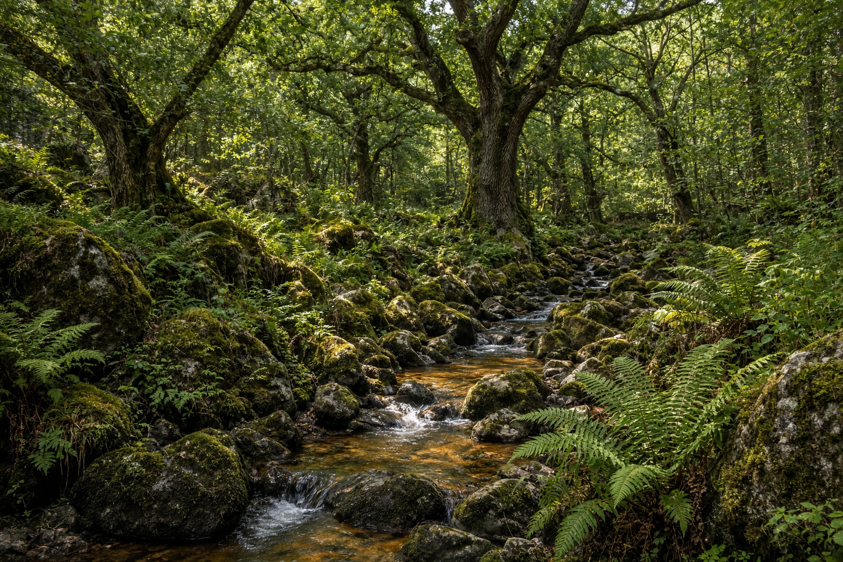
Padley Gorge and Burbage
Ancient oaks, a brown stream, then the open grit of Burbage. The good wet-weather day.
10 km · 310 m · 4 hr · Moderate