Hope Valley · Walk
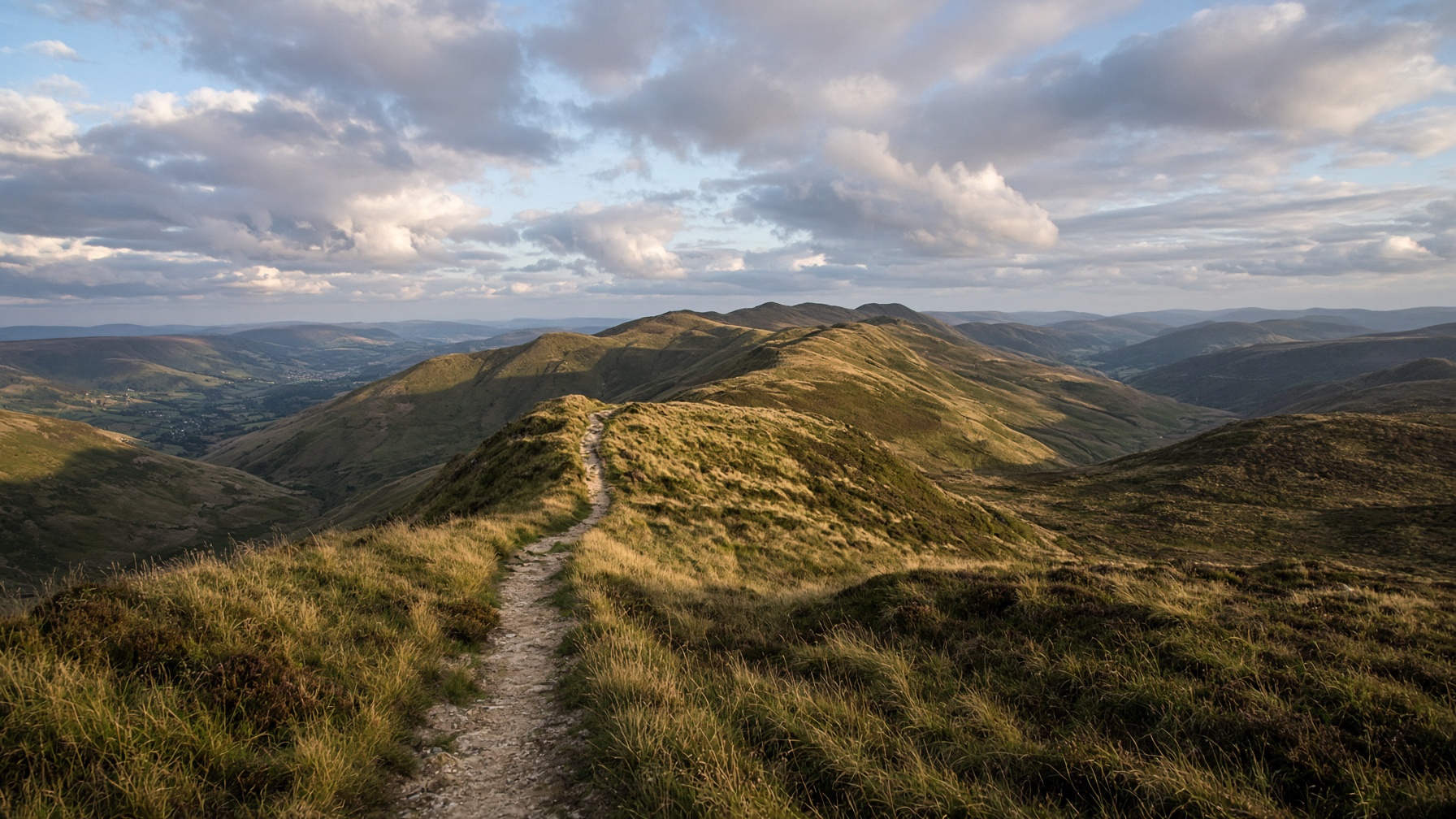
Mam Tor and the Great Ridge
The postcard: a broken hill, a high path, and Lose Hill sitting at the far end like a dare.
12.5 km · 540 m · 5 hr · Moderate
Walks
Hill walks, dales and easier days out, with a start, a distance and an honest grade. Pick a village you are staying in, or search for the hill.
14 routes
Hope Valley · Walk
The postcard: a broken hill, a high path, and Lose Hill sitting at the far end like a dare.
12.5 km · 540 m · 5 hr · Moderate
Hope Valley · Walk
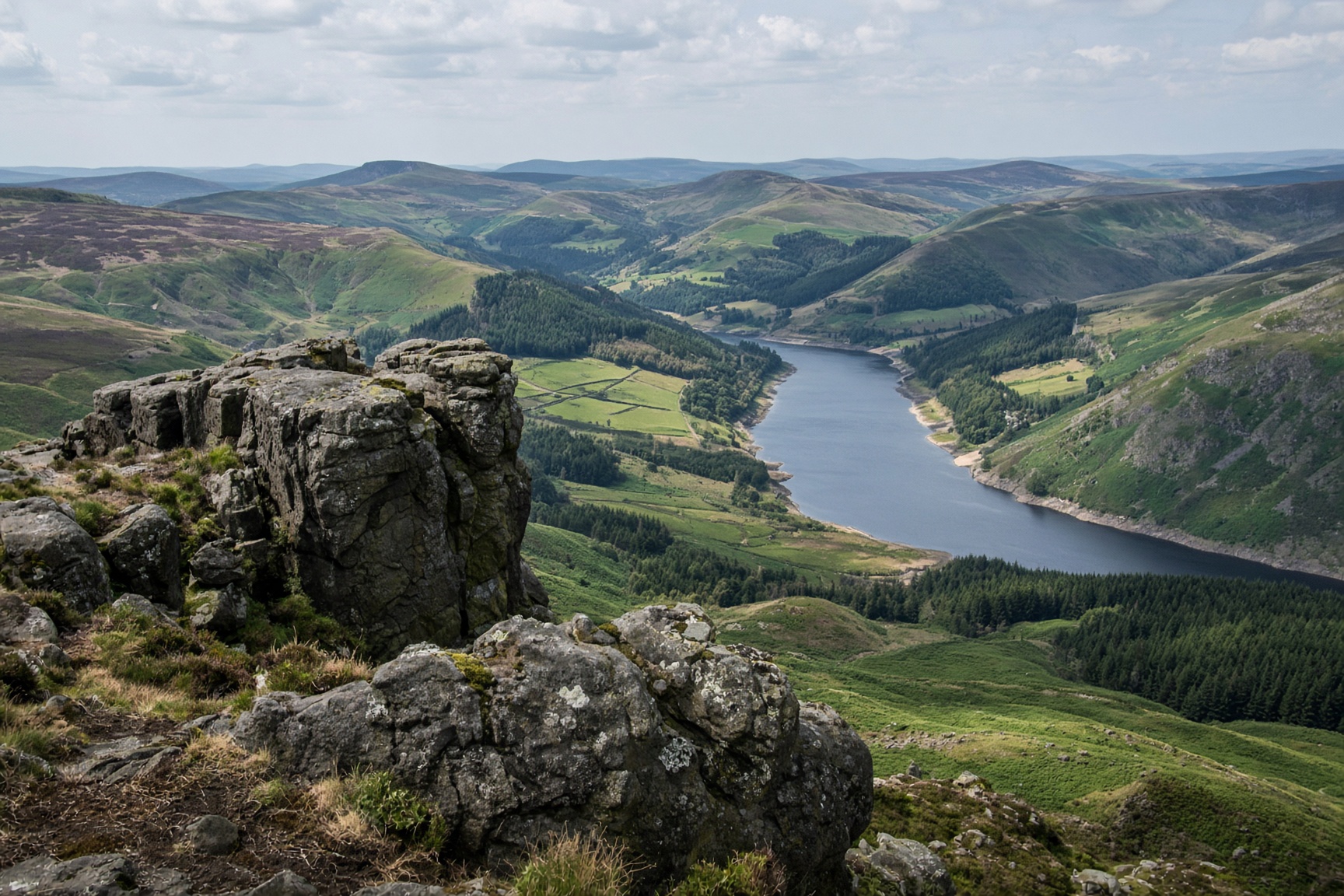
A small rocky top with the whole valley laid out under it. Steep enough to feel like a hill, short enough for a first day.
8.5 km · 370 m · 3 hr 30 min · Moderate
Eastern Edges · Walk
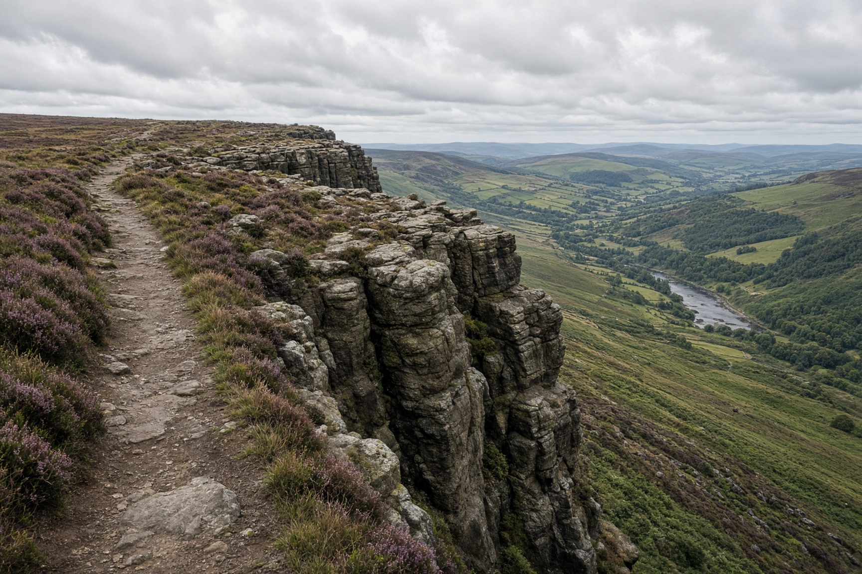
Three gritstone edges in one walk: Baslow, Curbar, then Froggatt, with the Derwent valley under the cliffs.
12 km · 380 m · 4 hr 30 min · Moderate
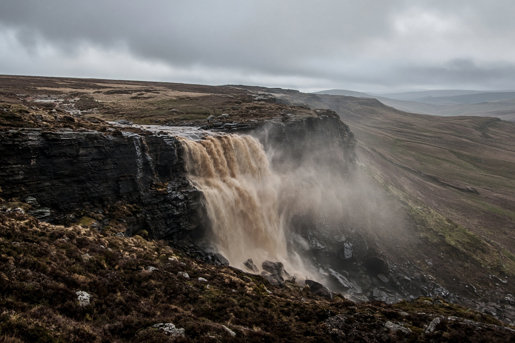
Dark Peak · Walk
Peat, gritstone and a waterfall that a strong wind can blow back up the hill.
14 km · 680 m · 6 hr 30 min · Hard
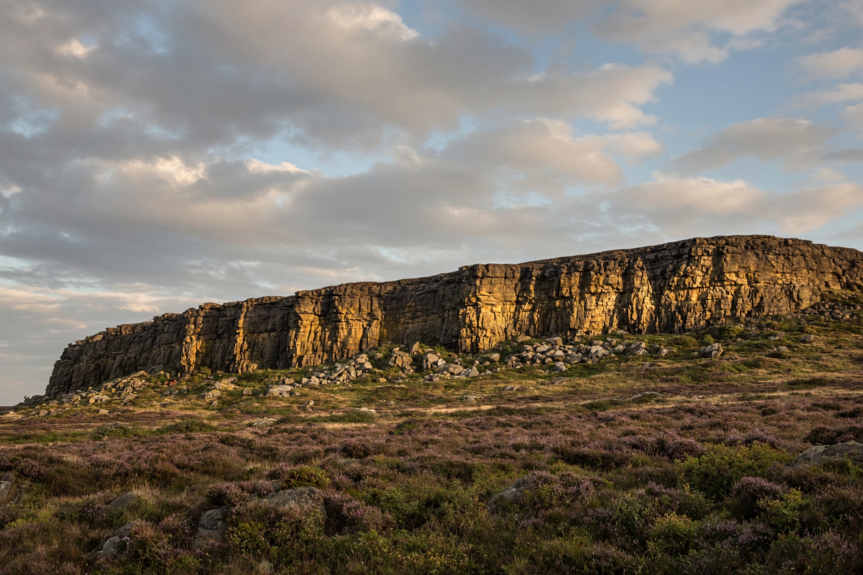
Hope Valley · Walk
A long dark cliff, a path along the top, and half of Sheffield's climbers somewhere underneath.
9 km · 340 m · 3 hr 30 min · Moderate
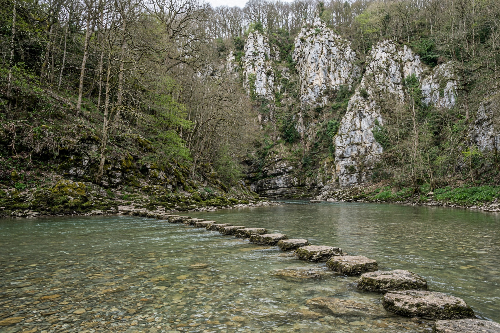
White Peak · Walk
Limestone, a clear river, and a line of stones that children remember for decades.
7.5 km · 290 m · 3 hr · Easy
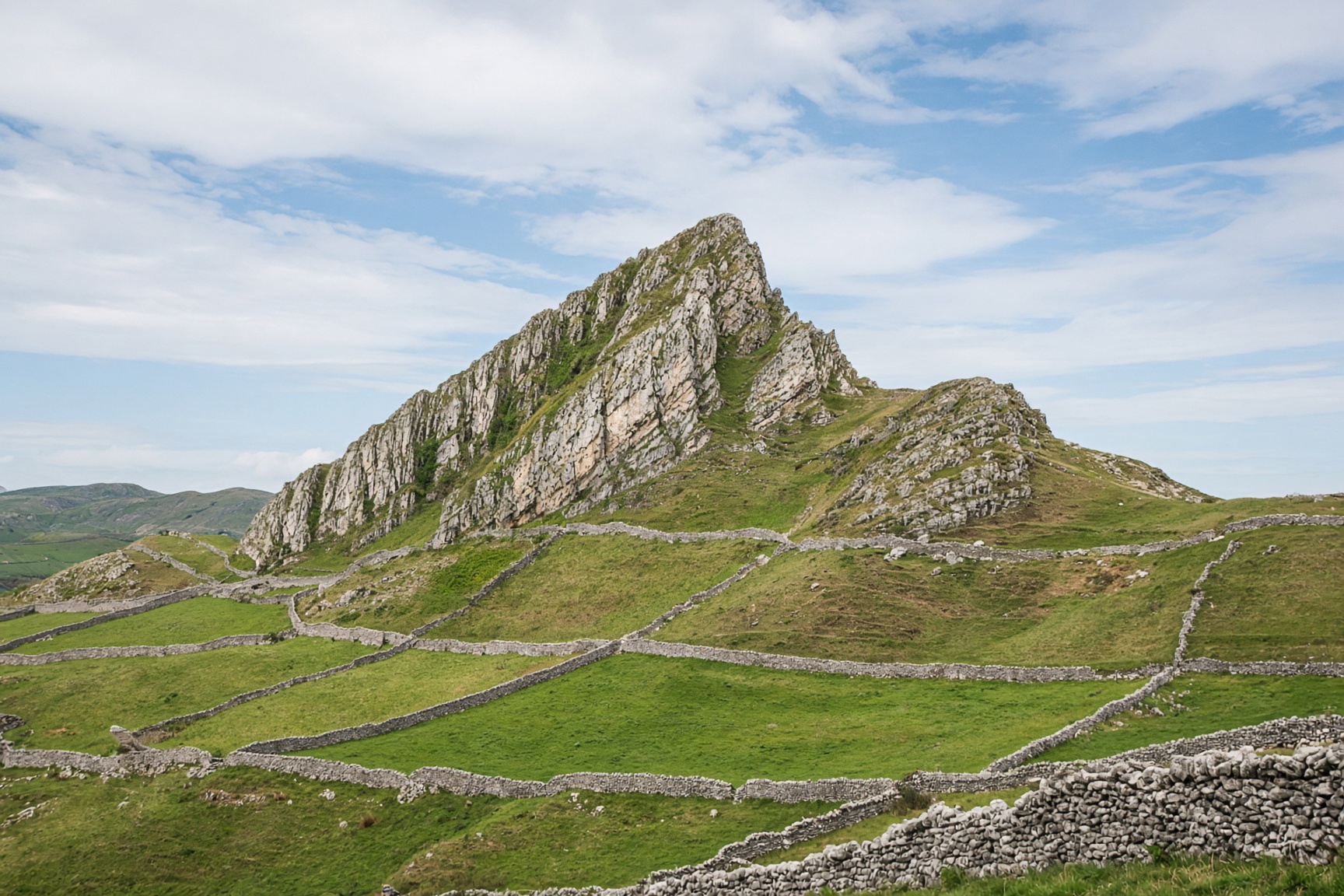
White Peak · Walk
Two reef knolls that look like a dragon's back, with grass as steep as the photographs suggest.
8.5 km · 470 m · 4 hr · Hard
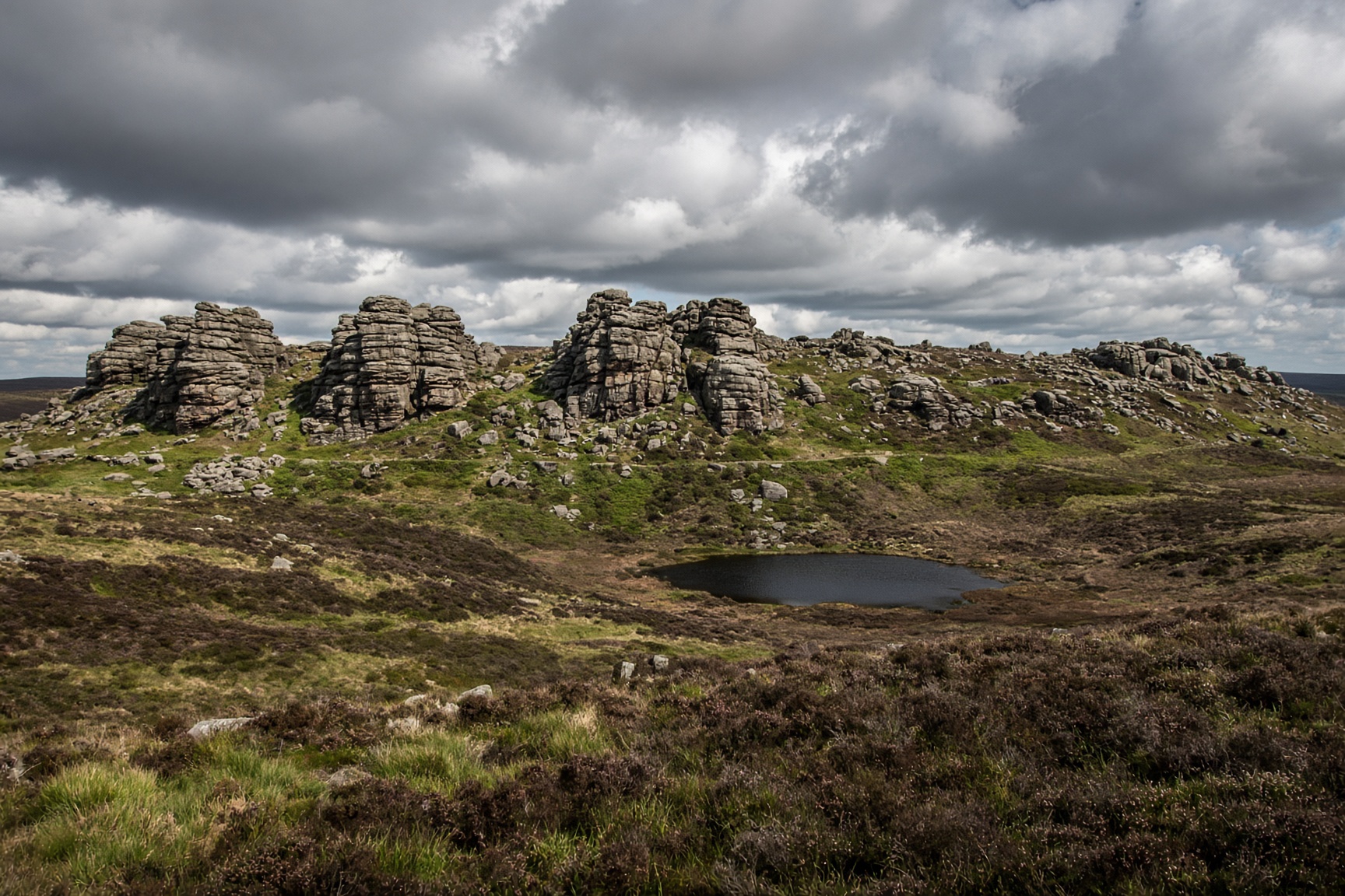
Staffordshire Moorlands · Walk
A gritstone skyline, a legend about a green knight, and a chasm that stays cold in August.
11 km · 490 m · 4 hr 30 min · Moderate
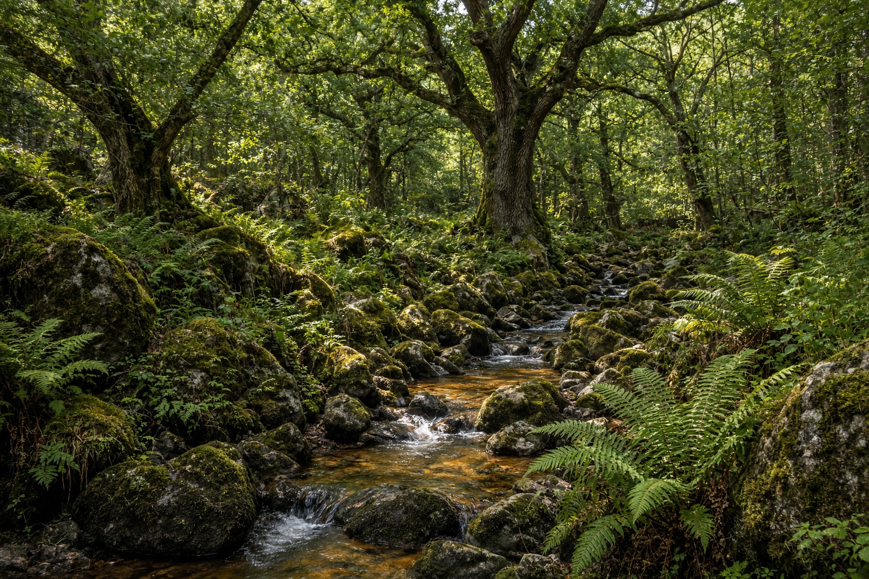
Hope Valley · Walk
Ancient oaks, a brown stream, then the open grit of Burbage. The good wet-weather day.
10 km · 310 m · 4 hr · Moderate
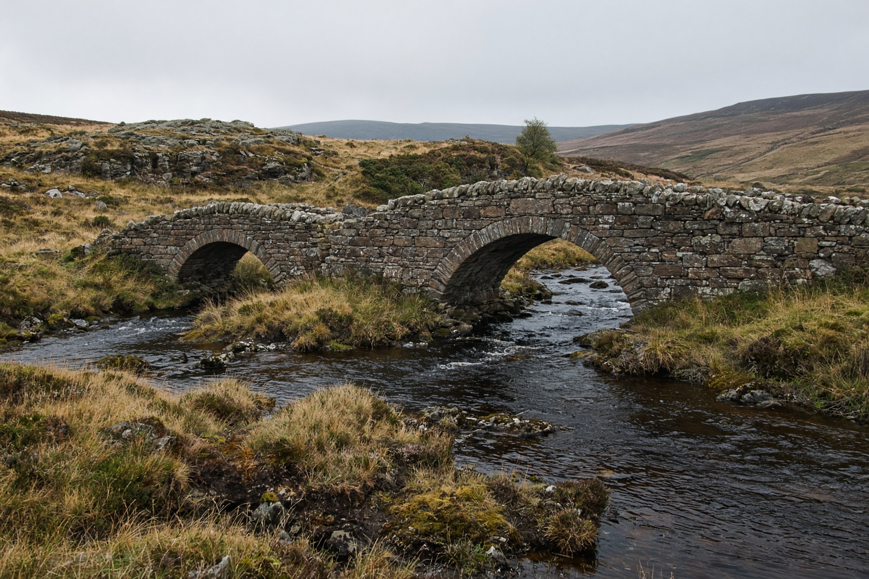
South West Peak · Walk
Packhorse bridges where Derbyshire, Cheshire and Staffordshire shake hands over the Dane.
11 km · 360 m · 4 hr · Moderate
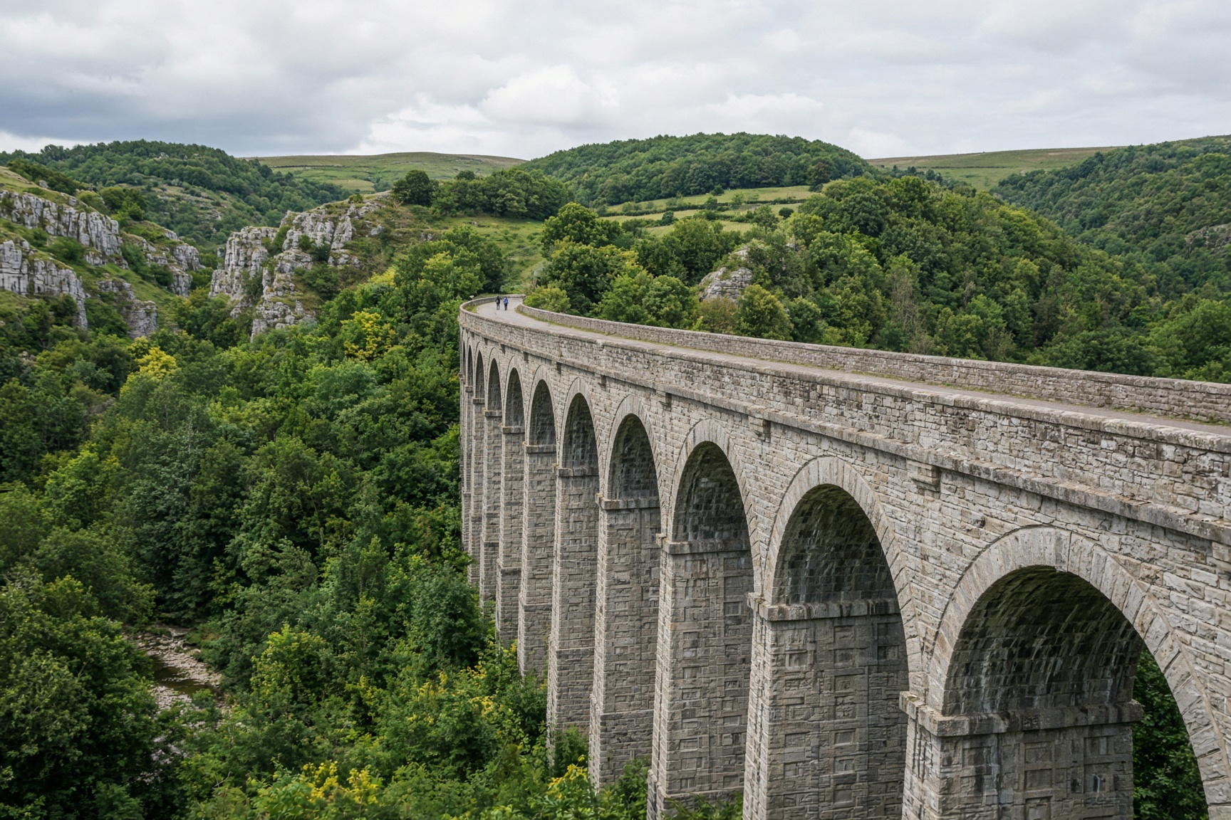
White Peak · Walk
The railway walk to Headstone Viaduct. The dale opens under your feet, then you turn round and come back for pudding.
10 km · 160 m · 3 hr 30 min · Easy
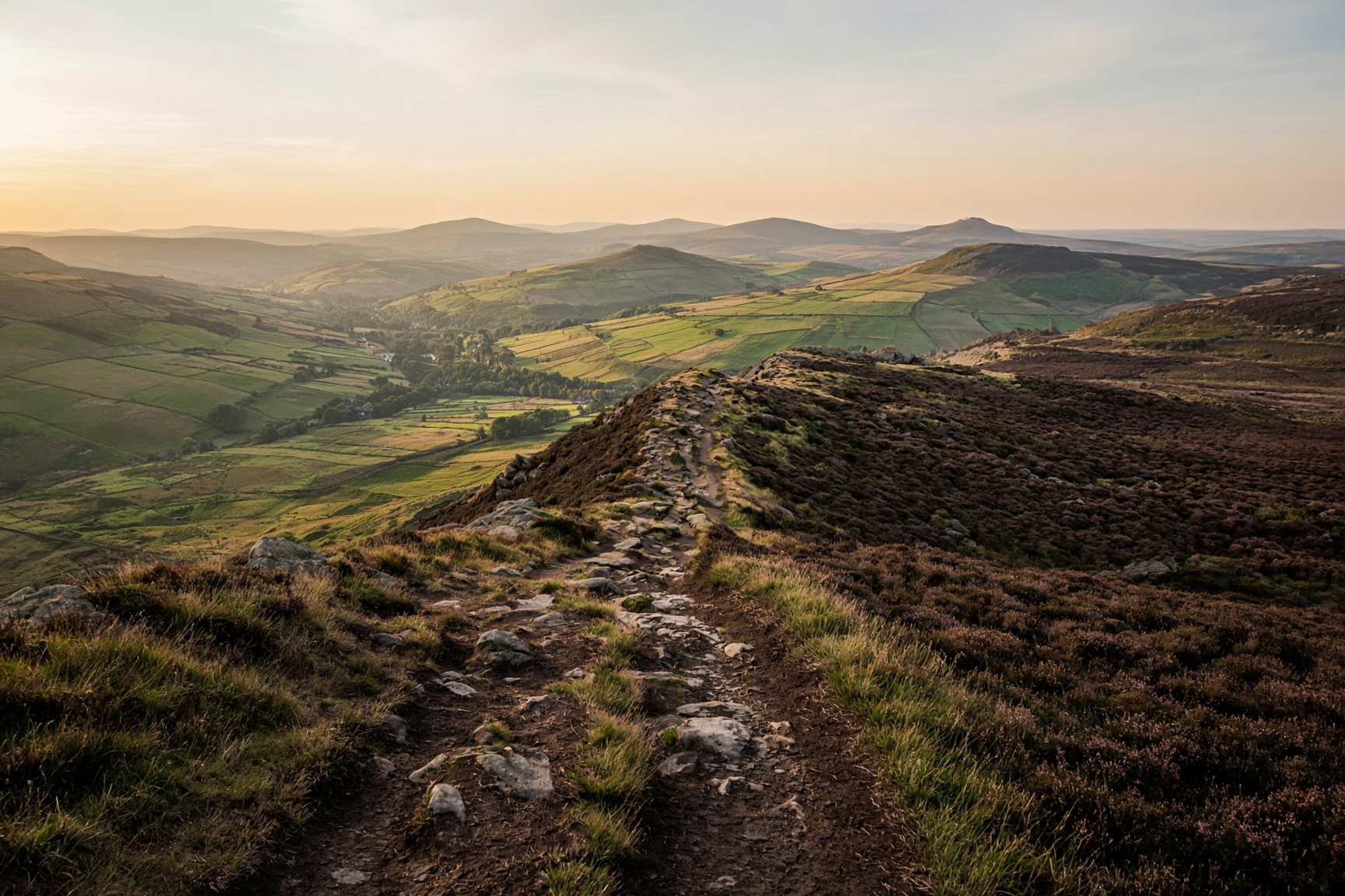
Dark Peak · Walk
The horseshoe that looks down on the village all day. A long one, and a navigation day once you are on the plateau.
22 km · 980 m · 7 hr 30 min · Hard
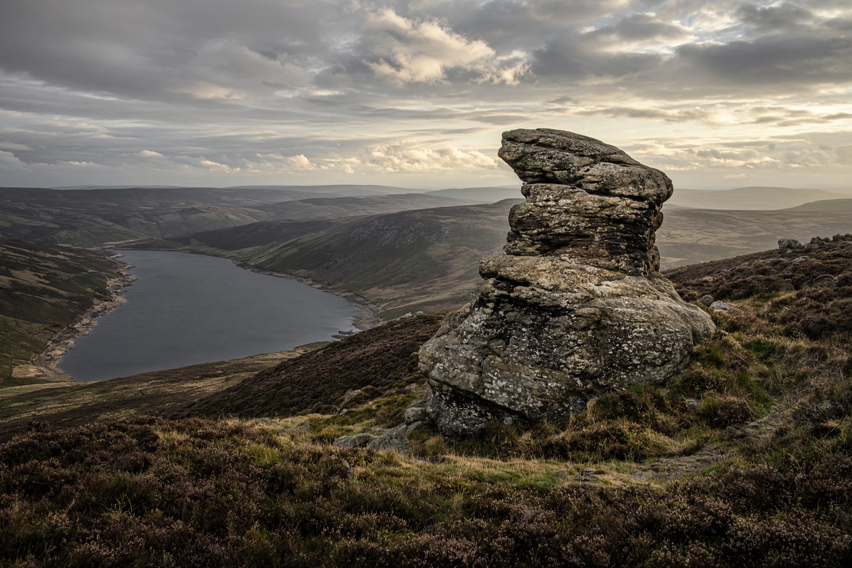
Dark Peak · Walk
Gritstone tors above the reservoirs. The Salt Cellar is the photograph. The edge is the walk.
14 km · 460 m · 5 hr · Moderate
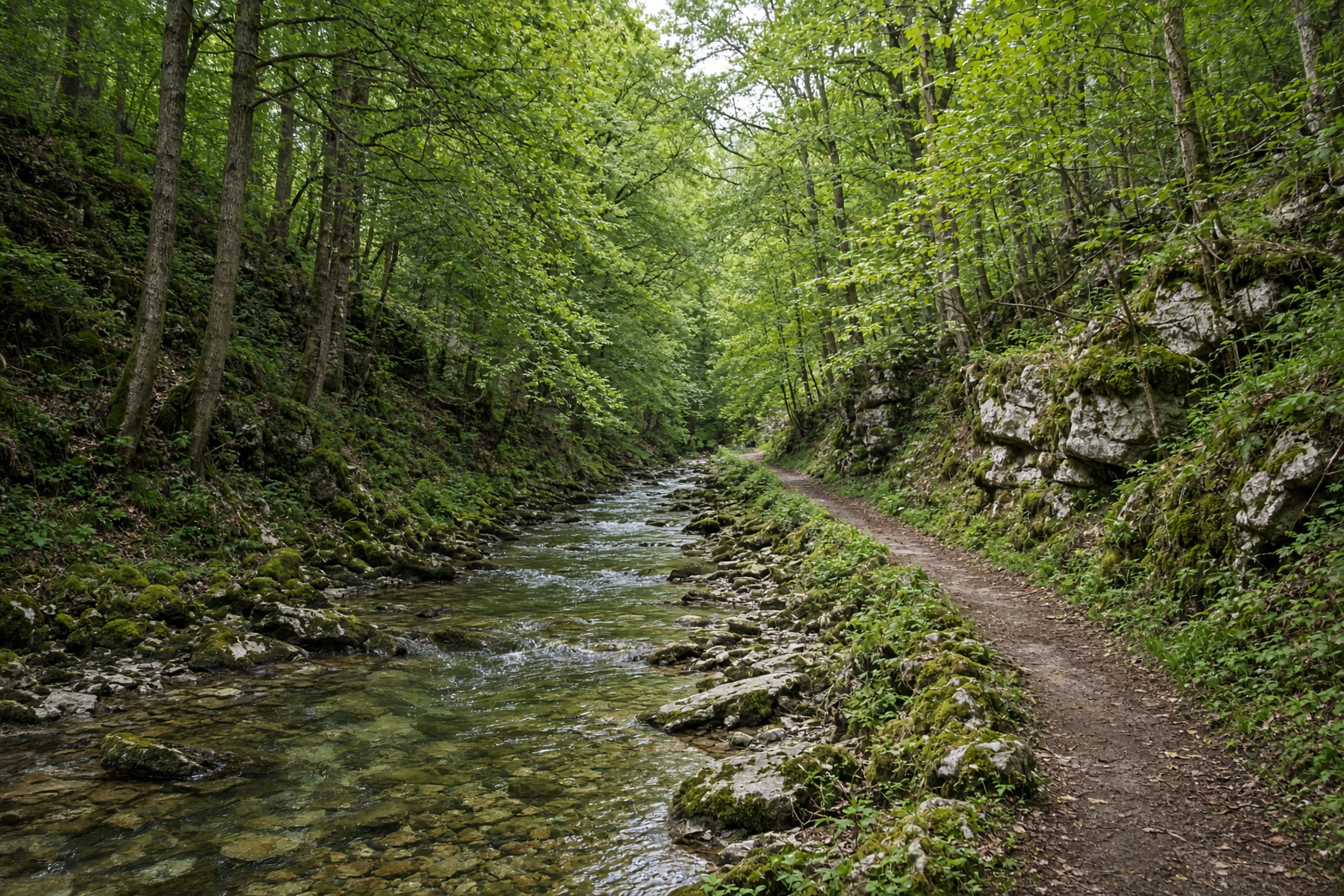
White Peak · Walk
A limestone river that appears and disappears, and a dale that stays green when the tops are bleak.
11 km · 280 m · 4 hr · Moderate