
Dark Peak · Peak District walk · Moderate
Derwent Edge from Fairholmes
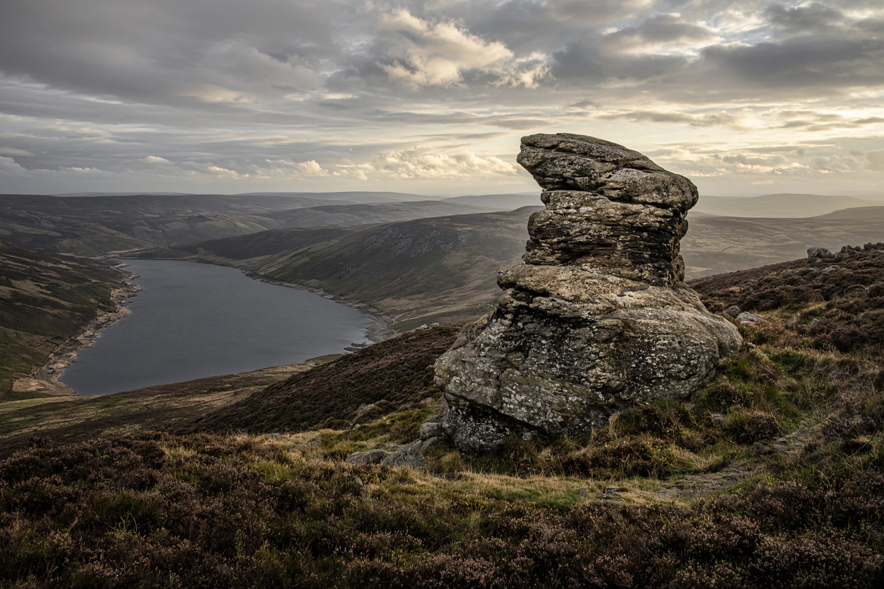
Gritstone tors above the reservoirs. The Salt Cellar is the photograph. The edge is the walk.
- Distance
- 14 km
- Ascent
- 460 m
- Time
- 5 hr
- Grade
- Moderate
The edge above the water, tors included.
Start
Fairholmes · SK 173 893
Parking
Fairholmes, below the Derwent Dam. It has a charge and a habit of filling. Upper Derwent is not a verge.
Underfoot
Gritstone slabs, moor paths, and the reservoir road to close the loop.
Dogs
Lead on. Ground-nesting birds in spring, sheep the rest of the year.
The day, in order
- 01
Up from the dam
Leave the car park and climb toward the edge rather than strolling the reservoir first. You want the height while your legs are fresh. The tors start appearing as soon as the moor flattens: Wheel Stones, then the Salt Cellar, which is smaller than the postcards and better for it.
- 02
Along the edge
The path is clear in good weather and a peat argument in cloud. Stay with the edge. Dovestone Tor is the natural far point for this day. Further north is a different walk and a later bus, if any.
- 03
Down to the water
Drop to the reservoir and walk the track back toward Fairholmes. It is longer than the map suggests and kinder than the climb. The dams are the architecture. The cafe is the reason some people do this the other way round.
The shape of it
A sketch of the ups and downs, not a surveyed profile. Navigate with the map.
Kilometres along, metres up.
Before you leave the car
- Winter ice on the slabs is a different grade. Save it for a dry day if you don't like that.
- The Salt Cellar is a pile of grit, not a viewpoint with railings. Don't climb what you can't reverse.
- Fairholmes sells maps. Buying one there still counts.
This is a guide, not a GPS track. Take OS 1:25,000 and know how to set it. Paths shift, rivers rise, and a right of way can be restricted.
If not this, then
Dark Peak · Walk
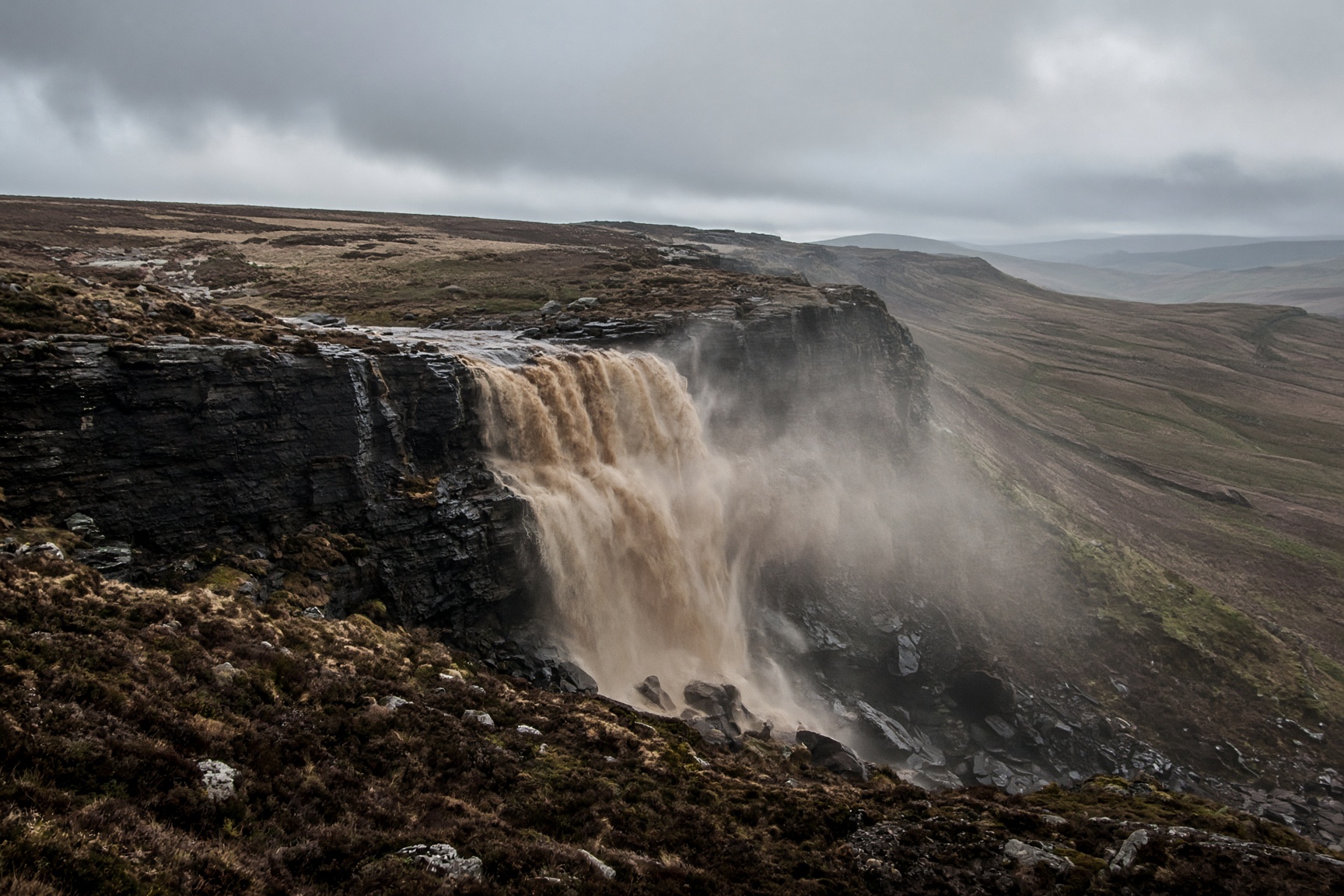
Kinder Scout via Jacob's Ladder
Peat, gritstone and a waterfall that a strong wind can blow back up the hill.
14 km · 680 m · 6 hr 30 min · Hard
Dark Peak · Walk
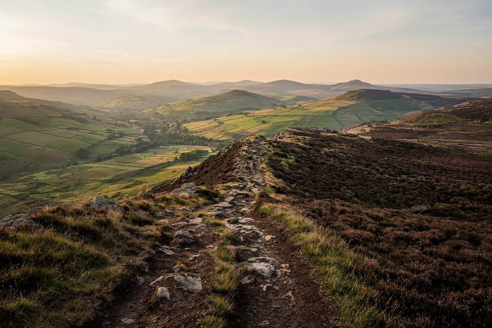
Edale Skyline
The horseshoe that looks down on the village all day. A long one, and a navigation day once you are on the plateau.
22 km · 980 m · 7 hr 30 min · Hard
Hope Valley · Walk
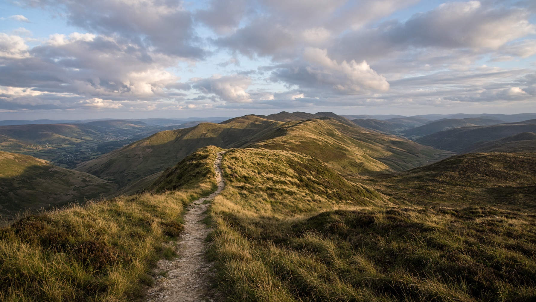
Mam Tor and the Great Ridge
The postcard: a broken hill, a high path, and Lose Hill sitting at the far end like a dare.
12.5 km · 540 m · 5 hr · Moderate