Eastern Edges · Peak District walk · Moderate
Froggatt, Curbar and Baslow Edges
Three gritstone edges in one walk: Baslow, Curbar, then Froggatt, with the Derwent valley under the cliffs.
- Distance
- 12 km
- Ascent
- 380 m
- Time
- 4 hr 30 min
- Grade
- Moderate
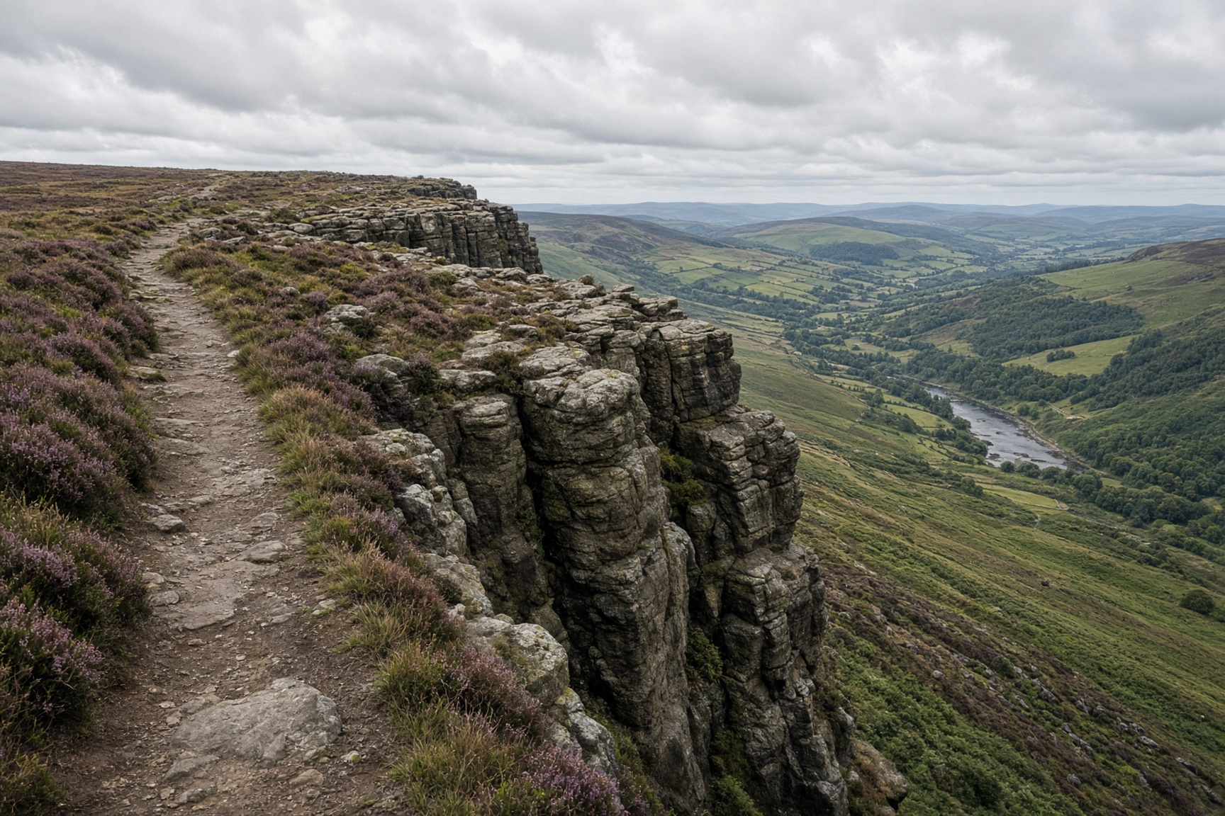
The path along the eastern edges, with the valley below.
Start
Baslow · SK 258 722
Parking
Nether End in Baslow. Curbar Gap is the other start, already on the edge, and it fills first.
Underfoot
Sandy paths on the crest, rock underfoot, and a wooded drop back to the village.
Dogs
Fine on a lead. There are sheep on the moor, climbers under the crags, and a long drop off the edge.
The day, in order
- 01
Baslow Edge
Leave Nether End and climb through the woods onto Baslow Edge. Wellington's Monument is the first proper stop: a stone pillar, a view back toward the village, and the Chatsworth estate in the trees to the south. The edge path north is the route. Don't cut the heather to the cliff top.
- 02
Curbar Edge
Curbar Gap is the low point between the edges, with a car park and the people who started there. After that the cliff is higher and the path follows the top. Climbers are on the rock below, so stay on the path and don't send stones over the edge.
- 03
Froggatt Edge, then down
Froggatt is the third edge, and quieter once you are past the gap. When the crag starts to ease off, drop to the lanes around Froggatt and follow the lower paths back through Curbar to Baslow. If those paths are deep mud, turn round and walk back along the top.
The shape of it
A sketch of the ups and downs, not a surveyed profile. Navigate with the map.
Kilometres along, metres up.
Before you leave the car
- Curbar Gap fills by mid-morning on a fine weekend. Starting in Baslow dodges that queue.
- The edges are busy with climbers. Don't stop on top of a route.
- Wind on the lip is a different day from the village. Take the shell even when Baslow feels mild.
This is a guide, not a GPS track. Take OS 1:25,000 and know how to set it. Paths shift, rivers rise, and a right of way can be restricted.
If not this, then
Hope Valley · Walk
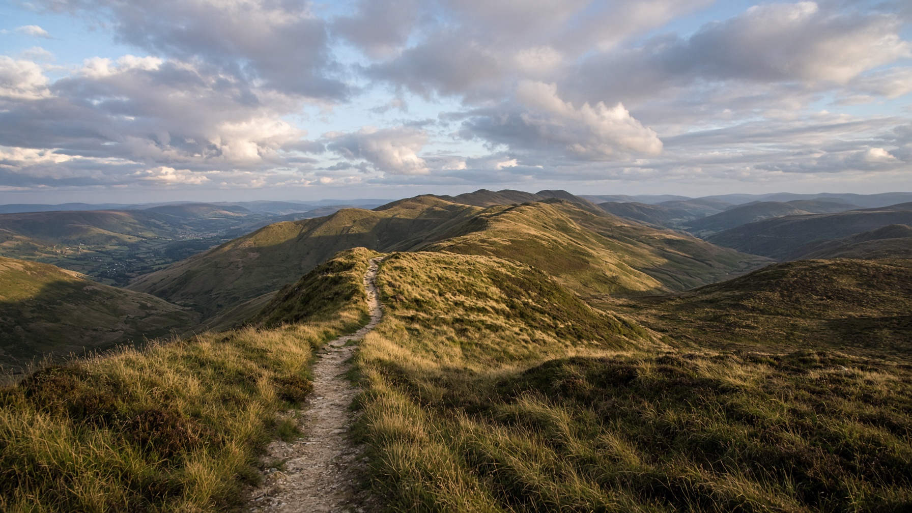
Mam Tor and the Great Ridge
The postcard: a broken hill, a high path, and Lose Hill sitting at the far end like a dare.
12.5 km · 540 m · 5 hr · Moderate
Hope Valley · Walk
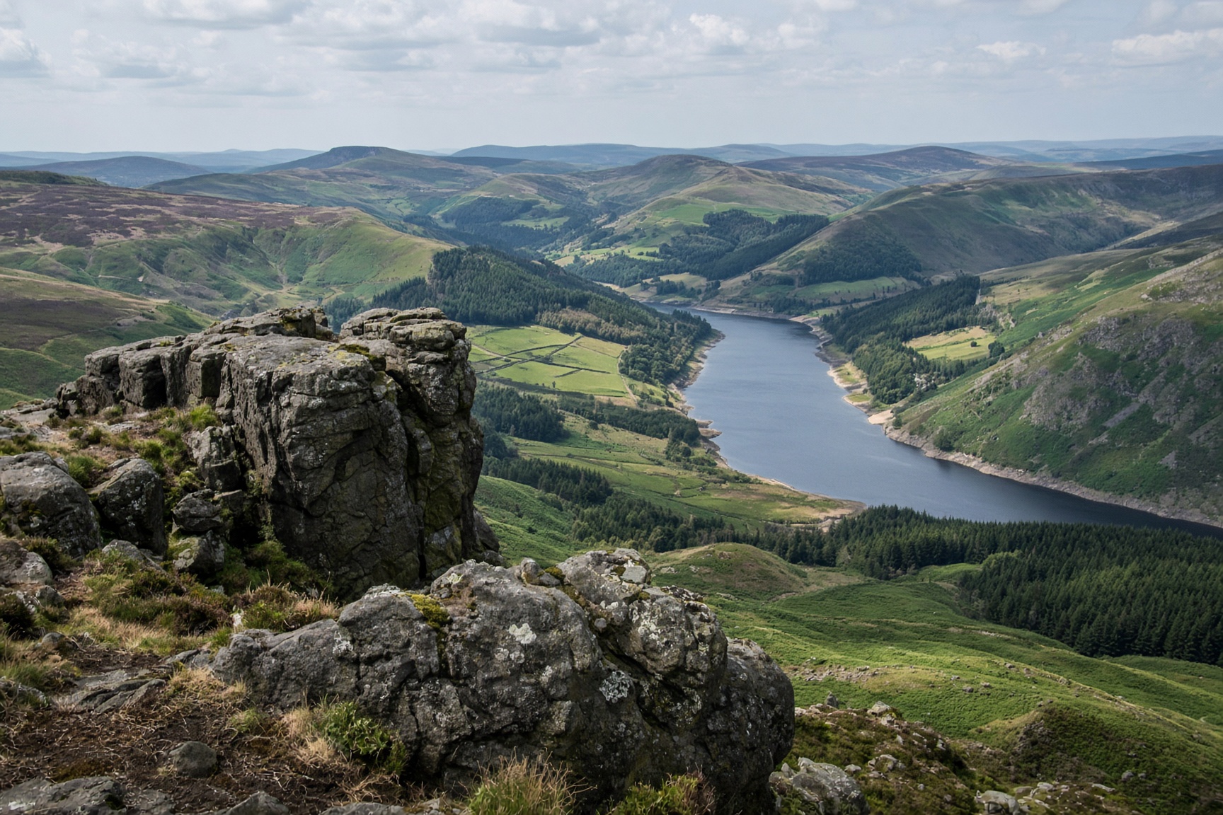
Win Hill from Hope
A small rocky top with the whole valley laid out under it. Steep enough to feel like a hill, short enough for a first day.
8.5 km · 370 m · 3 hr 30 min · Moderate
Dark Peak · Walk
Kinder Scout via Jacob's Ladder
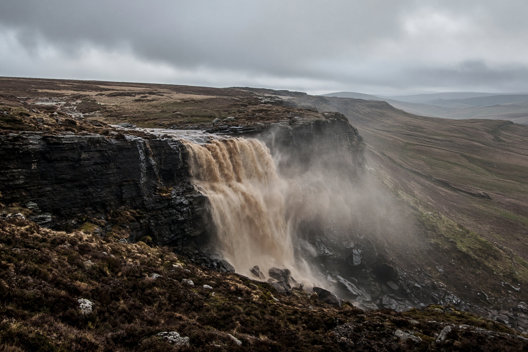
Peat, gritstone and a waterfall that a strong wind can blow back up the hill.
14 km · 680 m · 6 hr 30 min · Hard