
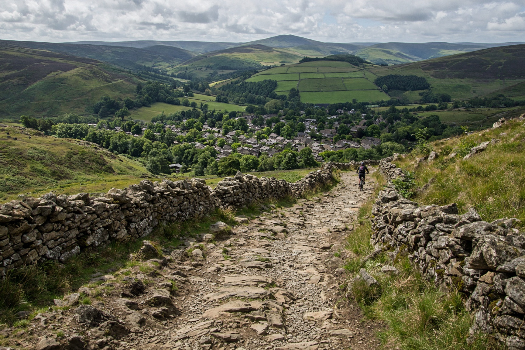
Hope Valley · Peak District ride · Hard
Long Causeway
A rocky byway under the Stanage weather. Fast if you know it, humbling if you don't.
- Distance
- 16 km
- Ascent
- 380 m
- Time
- 2 hr 30 min
- Grade
- Hard
Hope Valley country, where the track finally looks down.
Start
Redmires or the Stanage end · SK 258 858
Parking
Use proper car parks at Redmires or near Stanage. The verges are not an overflow strategy.
Underfoot
Byway: loose grit, bedrock, puddles that hide holes.
Dogs
No.
The day, in order
- 01
Stay on the byway
Start where the map marks a byway. Parts of the Causeway are still cobbled, and most of the surface is loose. Choose a gear before the rock, not on it.
- 02
The descent you came for
The descent is a series of choices. Loose grit over rock moves. Look further ahead than your front wheel. Wear knee pads. If walkers are coming up, they have the line, and you can stop.
- 03
Link it on lanes
Finish the loop on signed byways and quiet lanes, not on a footpath that looks rideable. Use the byways shown on the map.
The shape of it
A sketch of the ups and downs, not a surveyed profile. Navigate with the map.
Kilometres along, metres up.
Before you leave the car
- Ride it once slowly before you ride it quickly.
- Knee pads. The cafe can cope with the look.
- Weekend midday is busy with walkers. Early is better riding and better manners.
This is a guide, not a GPS track. Take OS 1:25,000 and know how to set it. Paths shift, rivers rise, and a right of way can be restricted.
If not this, then
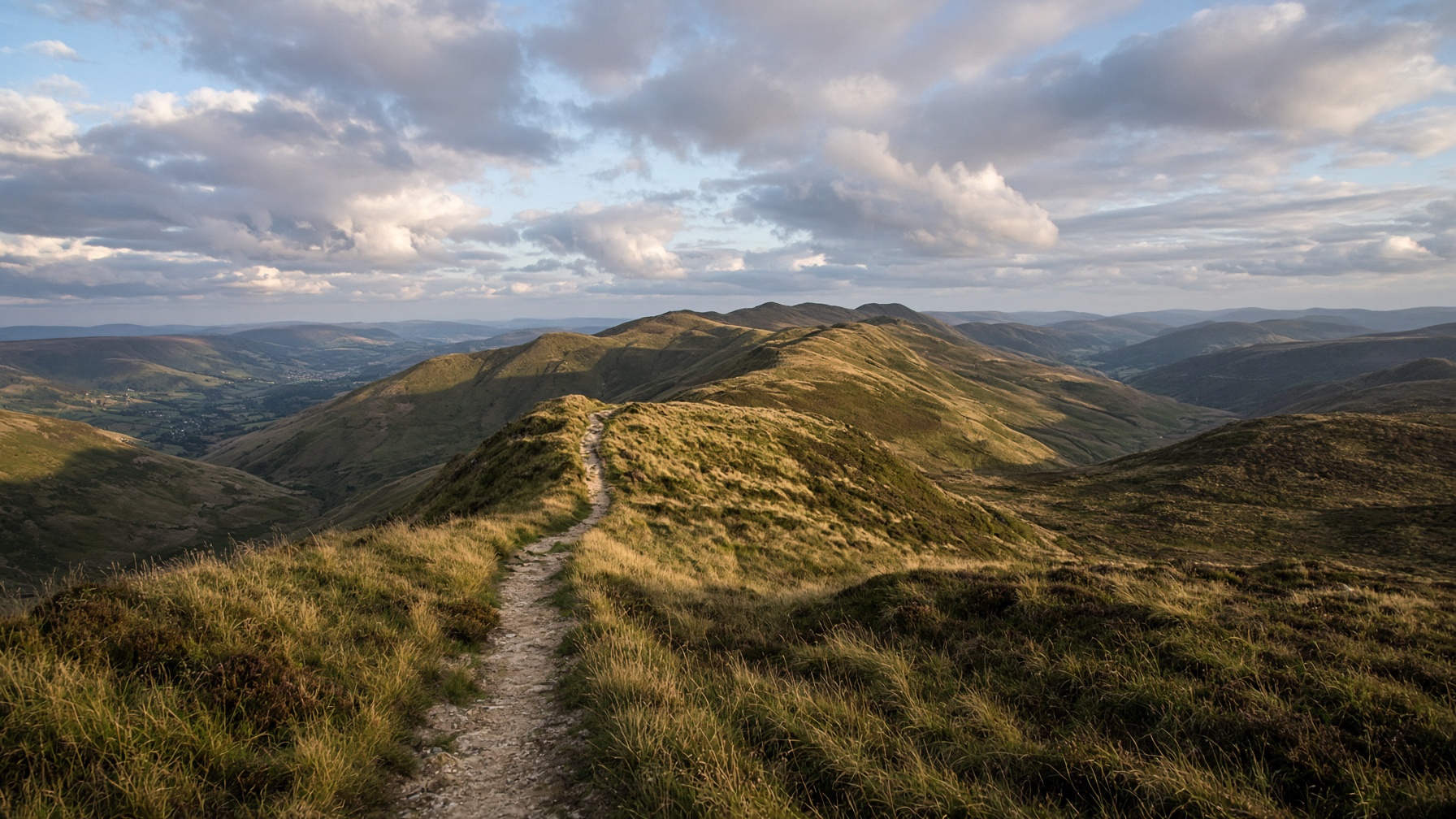
Hope Valley · Walk
Mam Tor and the Great Ridge
The postcard: a broken hill, a high path, and Lose Hill sitting at the far end like a dare.
12.5 km · 540 m · 5 hr · Moderate
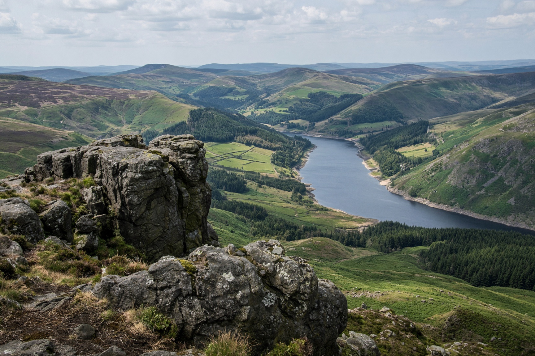
Hope Valley · Walk
Win Hill from Hope
A small rocky top with the whole valley laid out under it. Steep enough to feel like a hill, short enough for a first day.
8.5 km · 370 m · 3 hr 30 min · Moderate
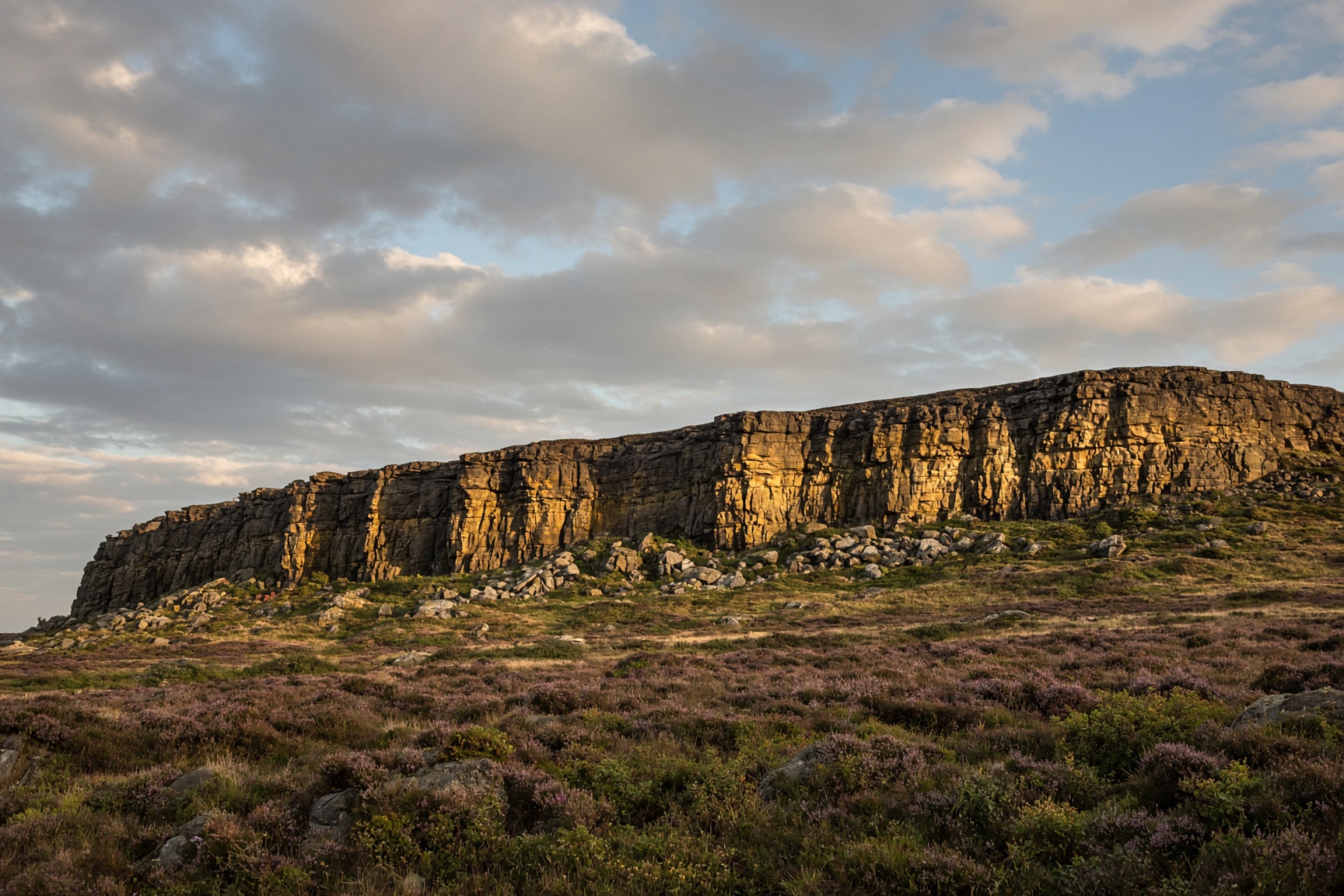
Hope Valley · Walk
Stanage Edge from Hook's Car
A long dark cliff, a path along the top, and half of Sheffield's climbers somewhere underneath.
9 km · 340 m · 3 hr 30 min · Moderate